-
Notifications
You must be signed in to change notification settings - Fork 11
Community
salmanatif edited this page Oct 11, 2024
·
70 revisions
Welcome to the Tangible Landscape community. If you have built your own Tangible Landscape system please add it here. Edit the wiki to add details about your team and projects using Tangible Landscape.
Please repost your team listing as a new issue on the Tangible Landscape website repository so that you can be added to the map (or create a pull request instead of an issue). Here's an example issue.
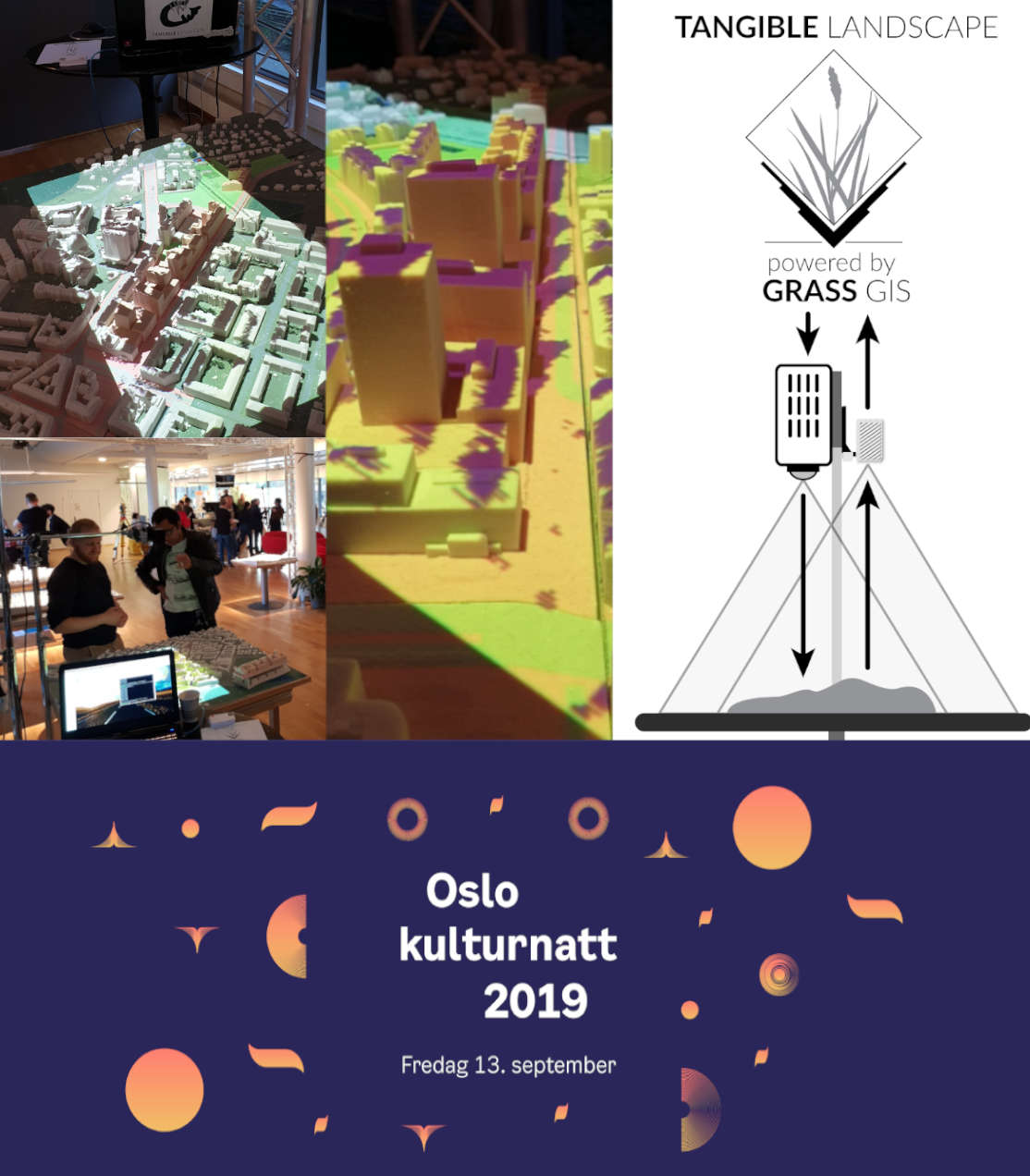
Also please download, adapt, print, and use the Tangible Landscape media such as logos and flyers for your projects. The logo and system logo make great stickers!

- NCSU GeoForAll Lab
- NCSU Geospatial Applications for Problem Solving (GAPS)
- Department of Geography, Masaryk University
- National Geospatial Intelligence Agency
- St Johns College Geography Department with Kartoza
- Palacký University Olomouc
- Norwegian Water Resources and Energy Directorate
- Macroscopia
- Centro Regional de Geomática
- UGA Center for Geospatial Research
- Institute of Geography at Pavol Jozef Šafárik University in Košice
- University of Brawijaya, Malang, East Java, Indonesia
- LSU Open Source Geospatial Laboratory
- USDA-ARS Pasture Systems and Watershed Management Research Unit
- Wuhan Tangible GIS Lab
- NUST Institute of Geographical Information Systems, Visual Analytics Lab
- Name: NCSU GeoForAll Laboratory
- Institution: North Carolina State University
- Department: Center for Geospatial Analytics
- Team: Anna Petrasova, Vaclav Petras, Payam Tabrizian, Helena Mitasova, and Brendan Harmon
- Website: http://tangible-landscape.github.io/
- Date: November 20, 2013
- Latitude and longitude: 35.7818, -78.6764
- Location: Hunt Library, NCSU, Raleigh, NC, USA
- Date: January 15, 2016
- Application: Termite serious game
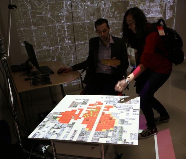
- Application: Coastal flooding serious game
- Application: Interactive water flow modeling
- Application: Wildfire management demo
- Project website: coffee-and-viz
- Latitude and longitude: 35.7693, -78.6764
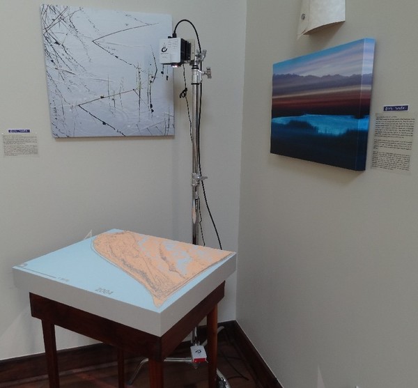
- Location: Bald Head Island Conservancy, NC, USA
- Date: Setup May 11, 2016
- Application: Interactive model with coastal flooding serious game
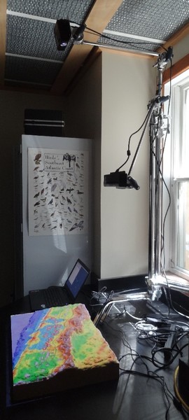
- Application: Raspberry Pi setup with animation of shoreline time series
- Latitude and longitude: 33.8463, -77.9659
| Raspberry Pi Setup | Coastal Game |
|---|---|
 |
 |
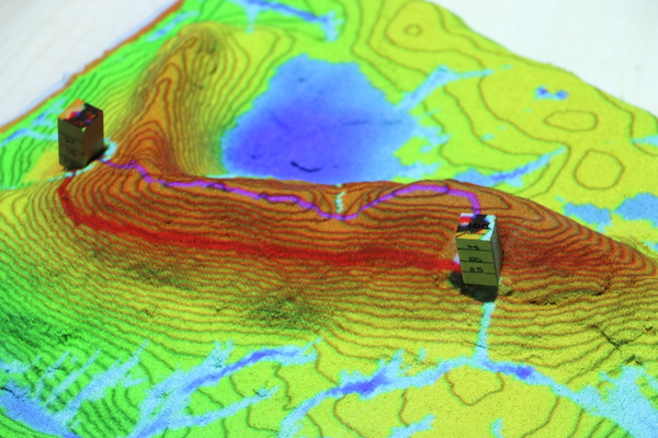
- Location: Center for Geospatial Analytics, NCSU, Raleigh, NC, USA
- Date: Spring, 2016
- Application: Using Tangible Landscape to explain terrain and surface analysis concepts
- Project website: geospatial-modeling-course
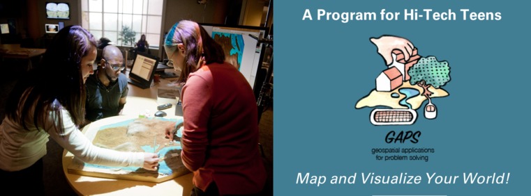
- Location: Wade Edwards Learning Lab, Raleigh, NC, USA
- Date: 2017-2020
- Application: Using Tangible Landscape to teach geospatial concepts to high-school kids
- Project website: GAPS
- Latitude and longitude: 35.78983, -78.65097
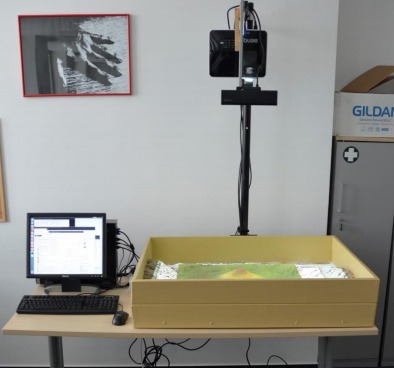
- Institution: Masaryk University
- Department: Department of Geography
- Location: TL located at Red Hat Open Source lab, Brno, Czech Republic
- Team: Pavel Pospíšil, Petr Kubíček
- Application: Reasearch on topography teaching
- Date: 2019
- Latitude and longitude: 49.2302, 16.5788
- Institution: National Geospatial Intelligence Agency
- Department: InnoVision Directorate
- Location: Fort Belvoir, Virginia, USA
- Team: Vincent Gaines
- Date: January, 2016
- Latitude and longitude: 38.75344, -77.19690
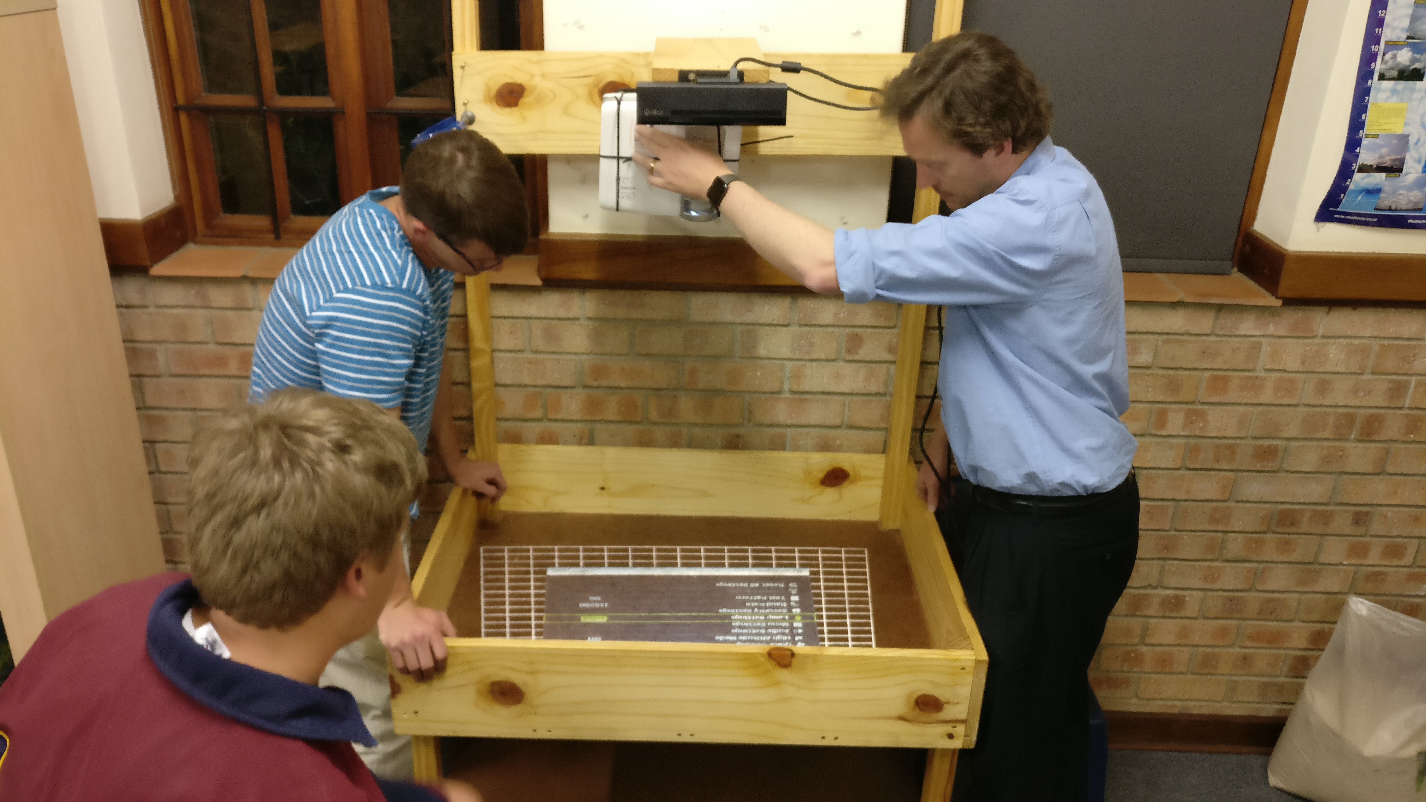
- Name: St Johns College Geography Department with Kartoza
- Institution: St Johns College
- Department: Geography
- Team: Bridget Fleming, Gavin Fleming, Sam Jones, Matthew Jones, and Peter Henning
- Website: http://stjohnscollege.co.za/ and http://kartoza.com
- Date: 8 Oct 2016
- Latitude and longitude: -26.17749, 28.05655
- Location: St Johns College, Johannesburg, South Africa
- Date: 8 Oct 2016
- Application: Tangible Landscape as a teaching resource
- Setup: 'Standard' TL setup as per available docs
- Description: The school geography department will use it to teach concepts in geography and demonstrate the use of GIS in the classroom
- Institution: Palacký University Olomouc
- Department: Geoinformatics
- Location: Olomouc, Czech Republic
- Team: Vit Vozenilek et al.
- Date: October, 2016
- Website: http://www.geoinformatics.upol.cz/
- Latitude and longitude: 49.595642, 17.260359
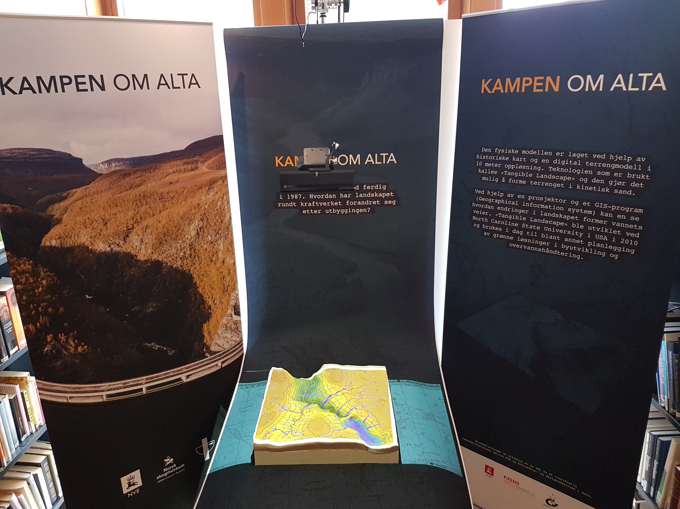
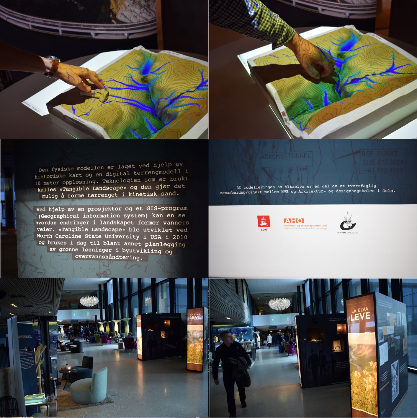
- Name: FUDT (Fysisk brukergrensesnitt for dynamisk utforming av digitale Terrengmodeller)
- Institution: The Norwegian Water Resources and Energy Directorate (NVE)
- Department: Hydrological department, GIS Section
- Team: Ortega Mora Rengifo Zenon
- Date: Spring, 2017
- Website: https://www.nve.no/english/
- Latitude and longitude: 59.9295957, 10.7078504
- Name: Macroscopia
- Location: Johannesburg, South Africa
- Team: Simon Chambert
- Date: August, 2017
- Website: http://www.macroscopia.com/
- Latitude and longitude: -26.195246, 28.034088
- Name: Centro Regional de Geomática
- Institution: Universidad Autónoma de Entre Ríos
- Department: Facultad de Ciencia y Tecnología
- Team: Fernando Tentor, Walter Sione, Pablo Aceñolaza, Pamela Zamboni, Francisco Maldonado, Francisco Viva Mayer, Estela Rodriguez, Ricardo Castro Diaz, and Fernando Bourdignon
- Date: August 31, 2017
- Website: https://ceregeo.org/
- Latitude and longitude: -32.062280, -60.643923
- Name: Center for Geospatial Research
- Institution: University of Georgia
- Department: Department of Geography
- Location: Athens, Georgia, USA
- Team: Dr. Sergio Bernardes
- Date: September, 2017
- Website: http://cgr.uga.edu
- Latitude and longitude: 33.94859, -83.37508
- Name: Institute of Geography
- Institution: Institute of Geography, Faculty of Science, Pavol Jozef Šafárik University in Košice (IGE), Slovakia
- Team: Jaroslav Hofierka, Ján Kaňuk, Michal Gallay, Jozef Šupinský, Ján Šašak
- Date: October, 2017
- Website: http://geografia.science.upjs.sk
- Latitude and longitude: 48.728684, 21.248518
- Location: Institute of Geography, Pavol Jozef Šafárik University in Košice, Slovakia
- Date: October, 2017
- Application: Simulation and dynamic visualization of geospatial processes
- Presented at: European Researchers' Night, Krajina na dotyk počas Noci výskumníkov 2017
Project page:
- Name: Geoinformatics Research Group
- Department: Faculty of Computer Science
- Institution: University Of Brawijaya
- Location: Malang, East Java, Indonesia
- Team: Cendi Tito Rahman, Adhi Isti Febriandhika, Fatwa Ramdani, and M.Chandra Saputra
- Latitude and longitude: -7.953736, 112.614839
- Website: http://gis.filkom.ub.ac.id/
- Location: Geoinformatics Research Group, University Of Brawijaya,Malang, East Java, Indonesia
- Date: October, 2017
- Application: Simulation Of Changing Of Hydrology Condition Due To Cement Raw Material Exploitation Of Karst Area and simulation of Forecasts of Spreading Fire in Tropical Forests
- Description: Studying the impact of surface hydrological changes in karst areas due to mining and studying the predicted spread of fire in tropical forests
- Project page: Brawijaya University Tangible Landscape
| ... | ... |
|---|---|
 |
 |
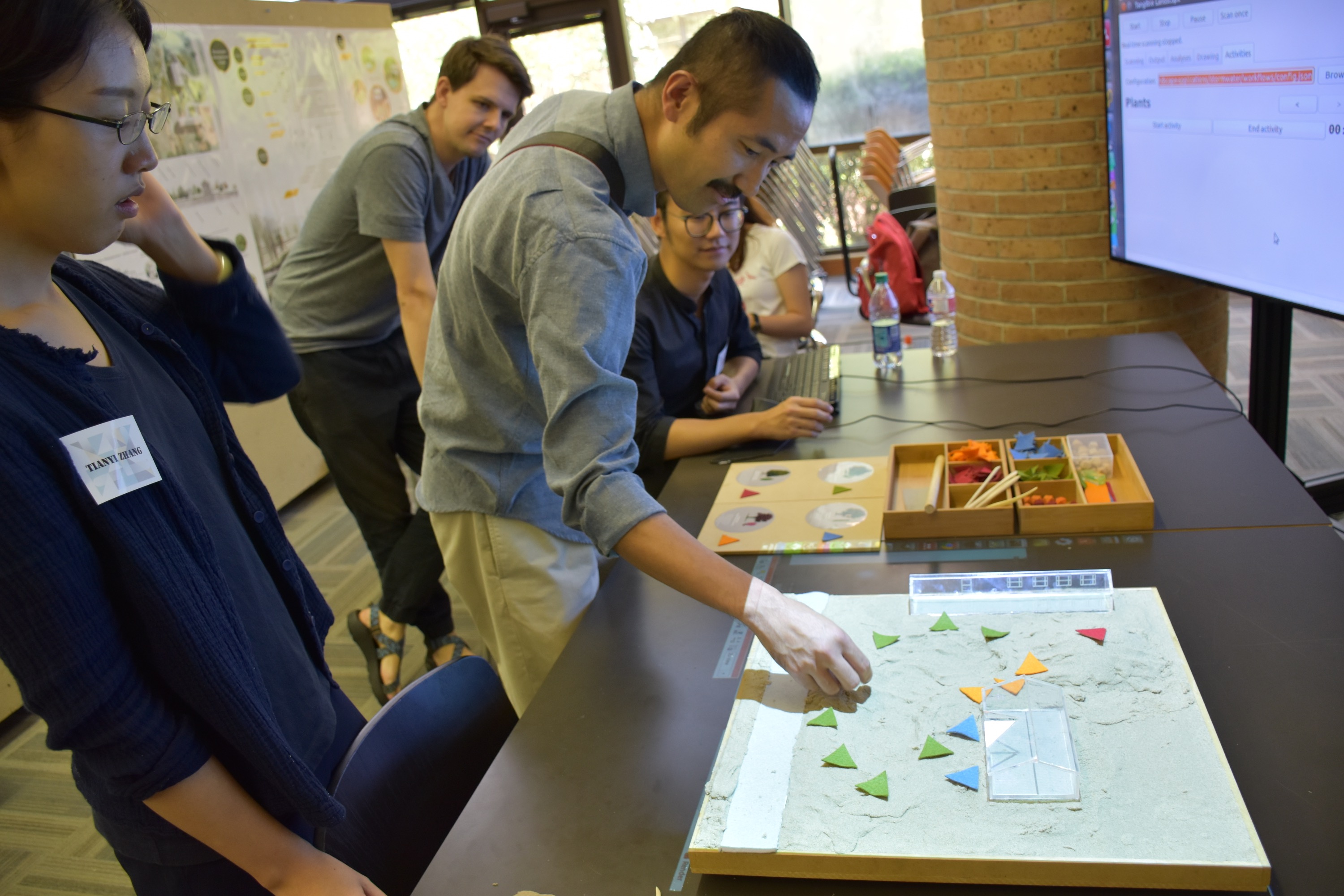
- Institution: Louisiana State University
- Department: Robert Reich School of Landscape Architecture
- Team: Brendan Harmon
- Date: December, 2017
- Latitude and longitude: 30.411775, -91.180909
- Location: College of Art and Design, LSU, Baton Rouge, LA, USA
- Date: April 27, 2018
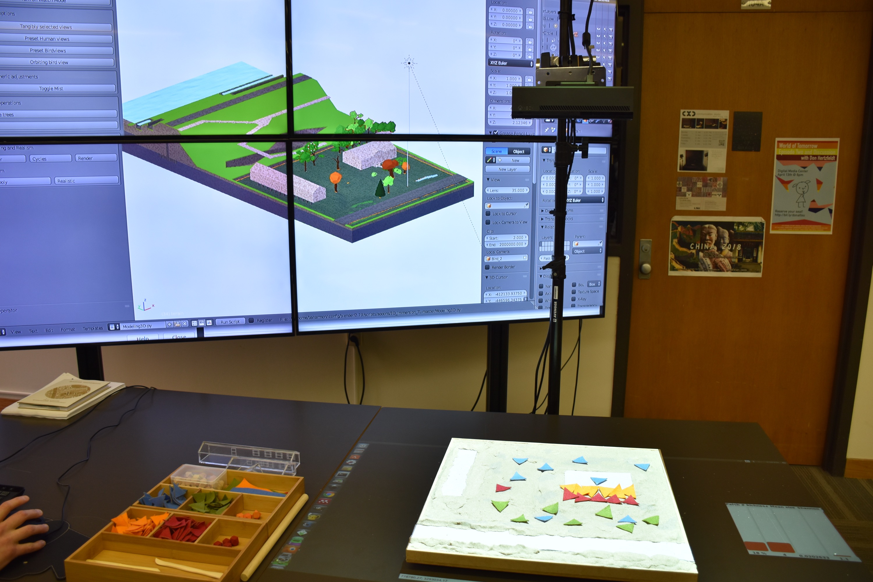
- Application: Stormwater game
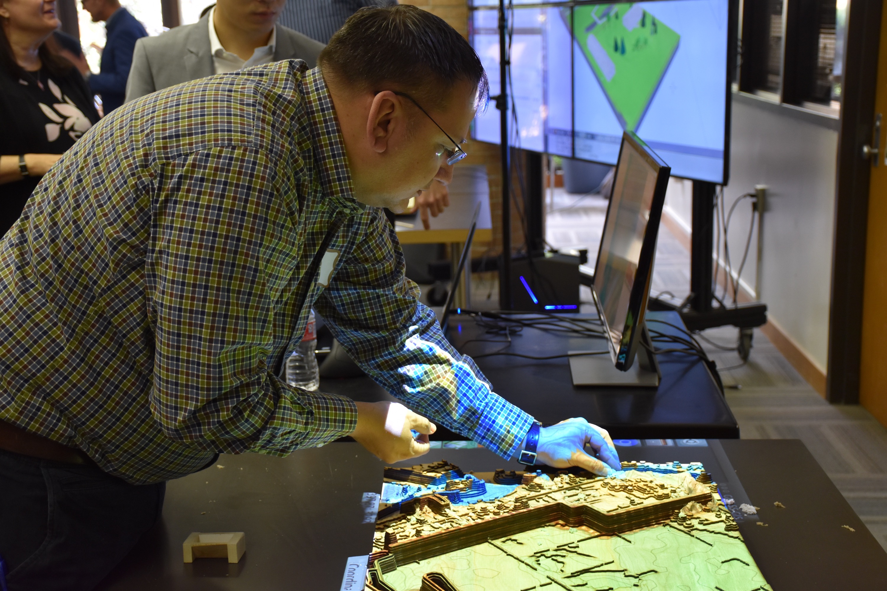
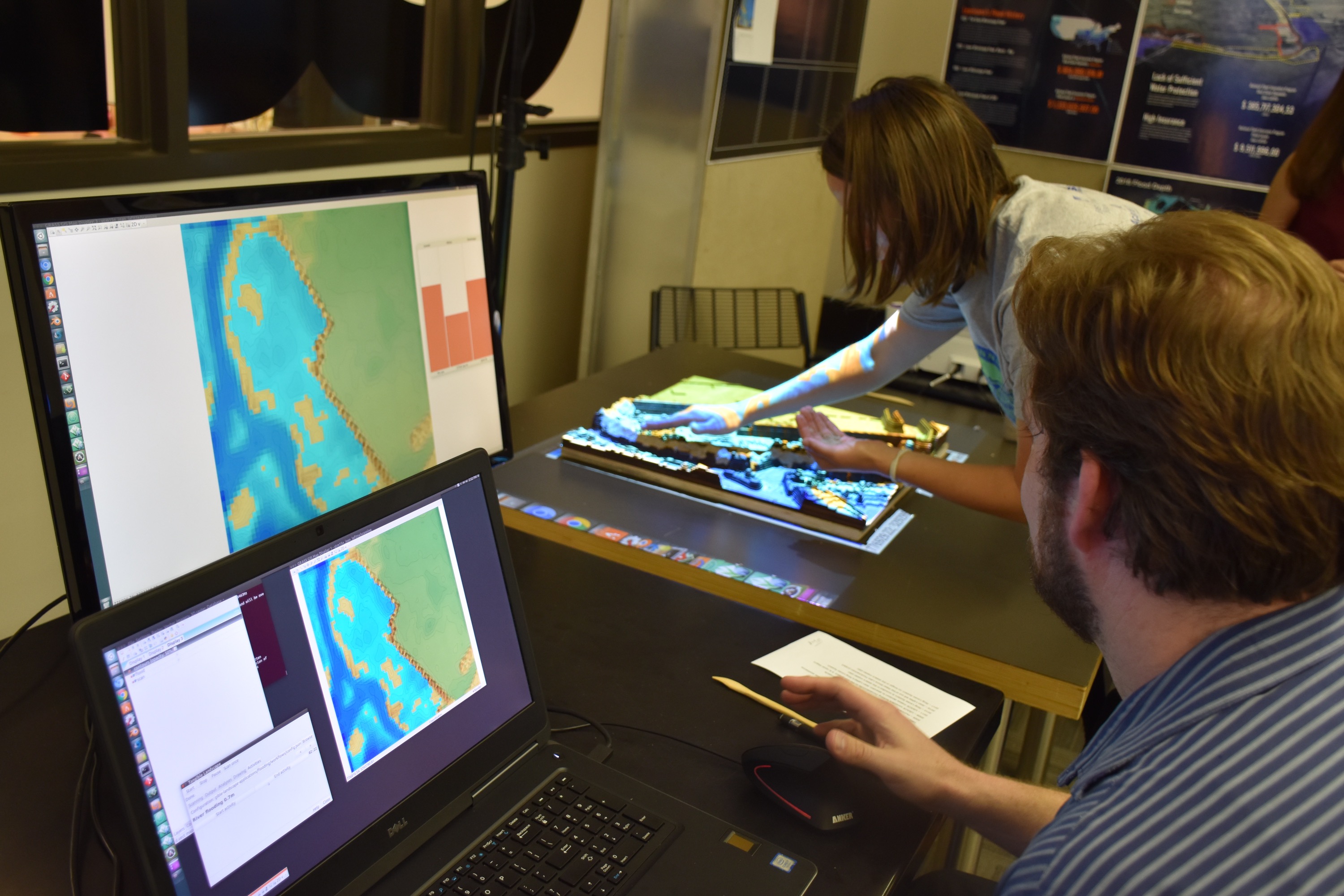
- Application: Levee game
- Project website: participatory-design-studio
- News story: Using Games to Explore Coastal Change
| Stormwater Design | Stormwater Viz |
|---|---|
 |
 |
| Levee Building | Flood Simulation |
|---|---|
 |
 |
- Institution: US Department of Agriculture
- Department: Agricultural Research Service
- Location: University Park, Pennsylvania, USA
- Team: Sarah Goslee and Jeff Gonet
- Date: June, 2018
- Latitude and longitude: 40.8033, -77.8619
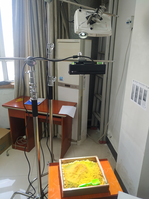
- Institution: Wuhan Center of China Geological Survey
- Department: Hydrogeology and Environmental Geology
- Team: Wang Jietao
- Date: January, 2020
- Latitude and longitude: 30.458577, 114.421366
- Institution: National University of Sciences & Technology, Islamabad Pakistan
- Department: Institute of Geographical Information Systems
- Team: Salman Atif
- Date: May, 2024
- Latitude and longitude: 33.6449° N, 72.9883° E
OurSetup.mp4
More to come...
Getting started
- Software installation
- Physical setup
- Preparing a simple sand model
- Calibration
- Putting it all together
Tangible Landscape plugin manual
- Tangible Landscape plugin: Scanning
- Tangible Landscape plugin: Output
- Tangible Landscape plugin: Analyses
Advanced features
Resources
