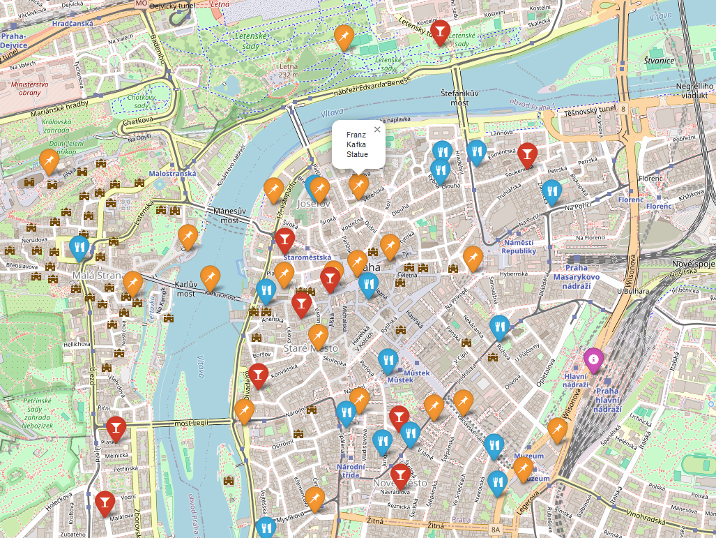
A project created to enable mapping of a large number of points of interest (PoIs) for a given location to enable easier visualisation of routing between PoIs, and easier identification of PoIs on the fly (e.g. for nearby spots to sightsee, have lunch or dinner, or grab a drink).
The PoI Mapper outputs an interactive map in HTML format to either locally store or host online as a web page.
PoI Mapper requires the Folium module, which can be installed via venv and
the requirements.txt file provided. Relevant documentation is linked below:
Run poi_mapper.py, which will operate according to functions defined
within functions_folium.py, functions_json.py, and functions_pois.py.
If locally-stored location.json or pois.json files do not exist, these will
be generated based on location and PoI data inputted by the user on the first
run of the program. Else, such data will be automatically imported.
Information on map bounding coordinates can be obtained by using the export functionality on OpenStreetMap.
Latitude and longitude coordinates for a given PoI can be found by right- clicking on its location in Google Maps, selecting the coordinates option at the top of the pop-up menu, and pasting into the PoI Mapper when prompted.